Park nearby Ferrymead Reserve
Coronavirus disease (COVID-19) Situation
confirmed cases
2621111
deaths
5697
New Zealand
Park nearby Ferrymead Reserve
Ferrymead Reserve
Ferrymead Nueva Zelanda
contacts phone
:
+64
Latitude:
-43.5622423
, Longitude:
172.7090558
read more
nearest Park
566 m
Scott Park
Mount Pleasant
Park
read more
576 m
Scott Park
3328336, Mount Pleasant, Christchurch
Park
read more
864 m
King Park
Mount Pleasant
Park
read more
864 m
King Park
3372333, Mount Pleasant, Christchurch
Park
read more
1.308 km
Charlesworth Reserve
Bromley
Park
read more
1.308 km
Charlesworth Reserve
3343907, Bromley, Christchurch
Park
read more
1.496 km
Kitesurf spot
21-23 Humphreys Drive, Woolston, Christchurch
Park
read more
1.563 km
Ti Rakau Reserve
3459350, Bromley, Christchurch
Park
read more
1.588 km
Ti Rakau Reserve
Woolston
Park
read more
1.685 km
Kotuku Reserve
3339873, Woolston, Christchurch
Park
read more
1.695 km
Kotuku Reserve
Woolston
Park
read more
2.07 km
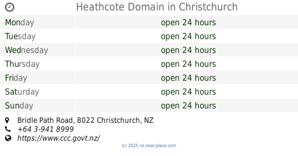
Heathcote Domain
Bridle Path Road, Heathcote Valley, Christchurch
Park
read more
2.192 km
Saint Lukes Reserve
3441942, Woolston, Christchurch
Park
read more
2.199 km
Saint Lukes Reserve
Woolston
Park
read more
2.707 km
Thistledown Reserve
Unnamed Road, Woolston, Christchurch
Park
read more
2.747 km
Woodlawn Memorial Gardens
477 Linwood Avenue, Bromley, Christchurch
Park
read more
2.827 km
Cutler Park
3388781, Woolston, Christchurch
Park
read more
2.833 km
Cutler Park
Woolston
Park
read more
2.972 km
Bromley Old School Reserve
Bromley
Park
read more
3.085 km
Garrick Memorial Park
Woolston
Park
read more
3.144 km
Cypress Garden Reserve
3454749, Bromley, Christchurch
Park
read more
3.165 km
Cypress Garden Reserve
Bromley
Park
read more
3.54 km
Mary Dixon Park
Woolston
Park
read more
3.708 km
Linwood Resource Centre and Community Gardens
332 Linwood Avenue, Linwood, Christchurch
Park
read more
3.756 km
Smith Street Community Garden
1724037/8 State Highway 3, Woolston, Turakina
Park
read more
📑
all categories
Accounting
Administrative area level 1
Administrative area level 2
Airport
Amusement park
Aquarium
Art gallery
Atm
Bakery
Bank
Bar
Beauty salon
Bicycle store
Book store
Bowling alley
Bus station
Cafe
Campground
Car dealer
Car rental
Car repair
Car wash
Casino
Cemetery
Church
City hall
Clothing store
Colloquial area
Convenience store
Country
Courthouse
Dentist
Department store
Doctor
Electrician
Electronics store
Embassy
Establishment
Finance
Fire station
Florist
Food
Funeral home
Furniture store
Gas station
General contractor
Grocery or supermarket
Gym
Hair care
Hardware store
Health
Hindu Temple
Home goods store
Hospital
Insurance agency
Jewelry store
Laundry
Lawyer
Library
Light rail station
Liquor store
Local government office
Locality
Locksmith
Lodging
Meal delivery
Meal takeaway
Mosque
Movie rental
Movie theater
Moving company
Museum
Natural feature
Neighborhood
Night club
Painter
Park
Parking
Pet store
Pharmacy
Physiotherapist
Place of worship
Plumber
Point of interest
Police
Political
Post office
Premise
Real estate agency
Restaurant
Roofing contractor
Route
Rv park, camping
School
Shoe store
Shopping mall
Spa
Stadium
Storage
Store
Subpremise
Supermarket
Synagogue
Taxi stand
Train station
Transit station
Travel agency
University
Veterinary care
Zoo
sublocality level 1
↑