places in Pauatahanui
New Zealand
Pauatahanui
Pauatahanui
Administrative Region:
Wellington
population:
216
calling code:
+64-4
postcode:
5381
Location on the map of New Zealand
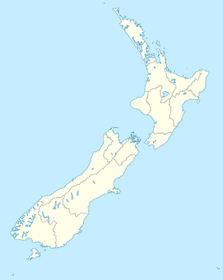
Pauatahanui
Local government office
Immigration New Zealand
Porirua, Wellington
Local government office
read more
Administrative area level 2
Porirua City
Nowa Zelandia
Administrative area level 2
read more
Porirua City
New Zealand
Administrative area level 2
read more
Art gallery
Allsorts Studio
333 Grays Road, Pauatahanui, Porirua
Art gallery
read more
Bus station
Joseph Banks Drive (near 34)
New Zealand
Bus station
read more
Navigation Drive (opposite 48)
New Zealand
Bus station
read more
Joseph Banks Drive (near 21)
New Zealand
Bus station
read more
Joseph Banks Drive at The Masthead (near 51)
New Zealand
Bus station
read more
James Cook Drive at Endeavour Park
New Zealand
Bus station
read more
Samwell Drive (opposite 53)
New Zealand
Bus station
read more
Joseph Banks Drive (near 91)
New Zealand
Bus station
read more
Cafe
Groundup Cafe
15 Paekakariki Hill Road, Pauatahanui, Porirua
Cafe
read more
Groundup Cafe
15 Paekakariki Hill Road, Pauatahanui
Cafe
Food
Point of interest
Establishment
read more
📑
Pauatahanui all categories
Administrative area level 2
Art gallery
Bar
Beauty salon
Bus station
Cafe
Car repair
Church
Clothing store
Convenience store
Electronics store
Establishment
Finance
Food
Furniture store
Gas station
General contractor
Home goods store
Insurance agency
Local government office
Locality
Lodging
Movie theater
Museum
Natural feature
Painter
Park
Parking
Point of interest
Post office
Premise
Restaurant
School
Store
Travel agency
Veterinary care
sublocality level 1
↑