New ZealandPauatahanui
Pauatahanui
Administrative Region:
Wellington
population:
216
calling code:
+64-4
postcode:
5381
Location on the map of New Zealand
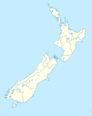
Pauatahanui
Veterinary care

Judgeford Kennels & Cattery
250 State Highway 58, Judgeford

Bus station

Establishment

Light House Cinema, Pauatahanui
3 Paekakariki Hill Road, Pauatahanui
NZ Post Centre Pauatahanui
17 Paekakariki Hill Road, Pauatahanui
Judgeford Kennels & Cattery
250 State Highway 58, Judgeford

Insurance agency
Local government office
📑 Pauatahanui all categories
Administrative area level 2Art galleryBarBeauty salonBus stationCafeCar repairChurchClothing storeConvenience storeElectronics storeEstablishmentFinanceFoodFurniture storeGas stationGeneral contractorHome goods storeInsurance agencyLocal government officeLocalityLodgingMovie theaterMuseumNatural featurePainterParkParkingPoint of interestPost officePremiseRestaurantSchoolStoreTravel agencyVeterinary caresublocality level 1